Hi everyone. I hope you are yours are doing well.
Last week was a big week in our family with the Australian National Dragon Boat Championship Titles at Champion Lakes in Perth, Western Australia over 5 days 17-21 April, and the annual Dardanup Art Spectacular and Art Trail over the weekend of 20-21 April with the opening and awards night of the exhibition on Friday night.

Our two sons were competing in the Dragon Boat raqcing and we went up to support them on Wednesday and Thursday. Our family has been involved in dragon boating since the summer of 1989-90, and we are members of a small regional club, the Forza Dragon Boat Club. Our club took out a swag of medals at the WA State Dragon Boat Titles a month ago, but it is a whole new experience and bigger challenge for Western Australian clubs to compete against the bigger Eastern states clubs, so unfortunately Forza didn't bring home any medals.
However they improved on their times, and on the last day of racing made the semi-finals in the Mixed 20's and Open Premier Division categories
We had eleven Forza paddlers competing with the WA State team on Friday, and they all won medals, albeit not gold, but a fantastic effort for a small club. Congratulations must go to all club members, paddlers, management and coaching team, especially our head coach and sweep, Paul Harrison.


Unfortunately my husband and I had to come home on Thursday afternoon because my husband had some university work to do on Friday morning and we had to set up for the Dardanup Art Trail on Friday afternoon for the art trail over the weekend. I was there with all my usual - photography and botanical eco-prints on paper and cloth. I had a good weekend sales wise and it is always great to speak to all the people who come through.
I was so excited to win the Photography section theme prize for the theme "Reflection" on Friday night. We had to write a description of our image - This is what I wrote - As we gaze out the window during our work day in the city we see reflections of our office windows in the windows of other buildings. Perhaps others are looking out at their reflections too. We are hemmed in by the buildings and the demands of work and economics, and feel we cannot escape. However over time the path-lines of our life will continually evolve, blur and change.

They say that winners are grinners and it was certainly true on Friday night at the Dardanup Art Spectacular art awards. Photography Group of Bunbury (of which I am a member) did exceptionally well. Judged by Sarah Henderson - Winner open photography - Jodie Deeley with Äutumn Tree; Winner Reflection theme - Jill Harrison with Reflecting Life; Highly Commended Open - Trevor Spivey with The Rose Hotel Corner; Highly Commened Reflection theme - ex member Chris Smith with Reflections on a Rainy Day. Honourable Mentions went to Glenys Hough, Chris de Blank, Trevor Spivey, Debbie Schramm, and Lina Coe. An Honourable Mention also went to Jill's Grandson Owen Harrison in the Secondary student division for his Rockpool Underwater Wonderland. You can see a list of all exhibition winners here - 2024 Dardanup art Spectacular winners

I want to thank everyone involved for their support over the weekend of the Dardanup Art Trail. Jenny Spokes and the Dardanup Art Spectacular & Art Trail committee for all your hard work putting together such a fabulous art exhibition and art trail. Father Wayne from the Dardanup Catholic church for allowing us to use the rooms again at the old Dardanup Convent, and Lisa for getting the space ready so brilliantly for us on Friday. Sarah Henderson for awarding me first prize in the photography theme "Reflections" division of the Art Exibition. The person who bought my red canna photo on the opening night of the exhibition - enjoy! The "convent girls" - Christine Blowfield, Sandra and Sylvia Nysten, (we have been exhibiting together I think 4 years now), Gemma Mangano (congrats again Gemma on winning the Portrait prize) and Cynthia Dix - you all make our space a great place to be for the weekend. My husband Rod for his continued support of me, my work and assisting me over the weekend - I couldn't do it without him. All the wonderful people who visited us over the weekend, chatted, encouraged, and loved my art enough to purchase from me - thankyou so much. You all help artists continue with their work. And who could have asked for much better weather! Glorious.

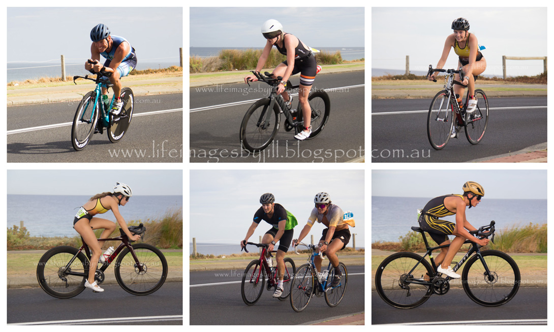
Unfortunately I didn't take many photos over the weekend so here are a couple from last year


It was a big week. Now for the clean up and pack away and I think spend some down time. And catch up on writing I need to do.
You might also like:
Doodling on botanical eco-prints
Forza dragon boat club - 30 years and on!
 Thank you so much for stopping by. I value your comments and look forward to hearing from you. I will try to visit your blogs in return. Have a wonderful week.
I am linking up to the link-ups below. Please click on the links to see fabulous contributions from around the world - virtual touring at its best!
Image-in-ing
My corner of the world through my camera
Wednesday Around the World at Communal Global hosted by Randomosity.
and Little bird - Pienilintu
Thankful Thursday
Welcome to Nature Thursday